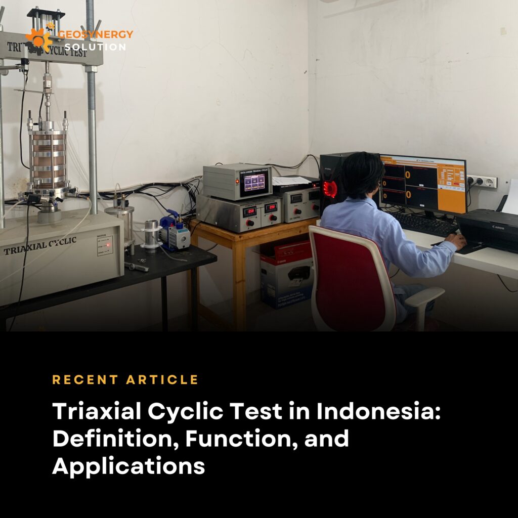
Understanding the Triaxial Cyclic Test: A Critical Soil Test in Geotechnical Engineering
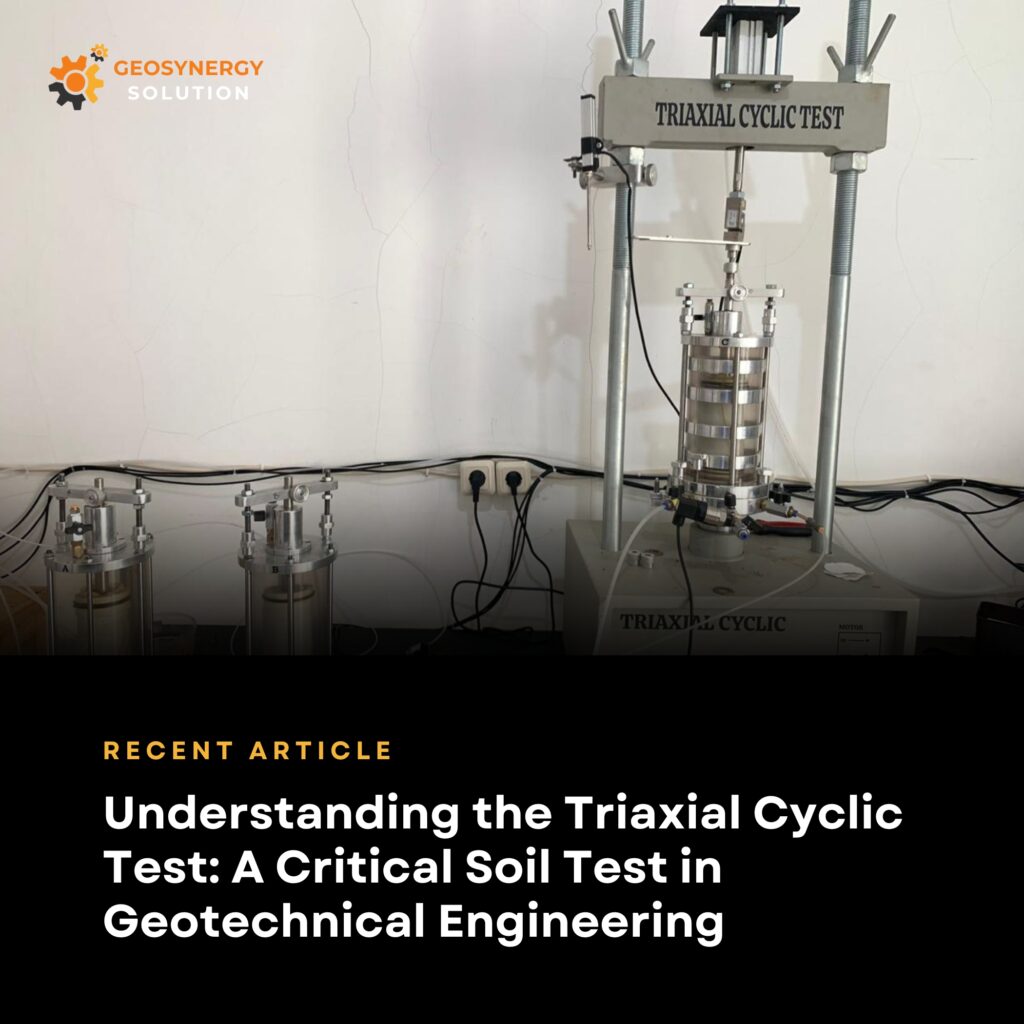
Understanding the Triaxial Cyclic Test: A Critical Soil Test in Geotechnical Engineering In modern infrastructure development, understanding soil behavior under dynamic loads is essential. One laboratory test that plays a crucial role in this process is the Triaxial Cyclic Test in geotechnical engineering. This test helps engineers assess how soil responds to repeated or cyclic […]