Indonesia One Map Policy: Achievements and Challenges in 2025
The Indonesia One Map Policy is one of the nation’s most important initiatives to improve spatial data management and minimize overlapping land use. It was introduced to promote efficient governance and sustainable development. This policy integrates geospatial data from various sectors into a single, standardized national map.
As we move into 2025, it is essential to review the achievements and the challenges that remain in implementing this ambitious program.
Achievements of the One Map Policy
Since its launch, the One Map Policy has made strong progress in improving Indonesia’s spatial data infrastructure.
Here are some key achievements worth noting:
Unified Geospatial Database
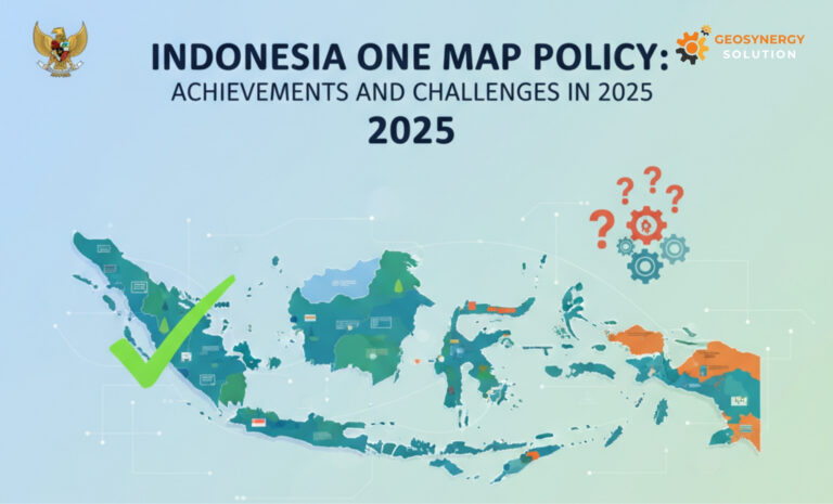
Over 80% of national land and marine areas have been mapped and standardized. This milestone, according to the Geospatial Information Agency (BIG), represents a major leap forward in national data integration.
Conflict Resolution in Land Use
The policy has helped reduce overlapping land claims among ministries, local governments, and private sectors. Moreover, it has proven especially useful in resolving conflicts within forestry, plantation, and mining zones.
Digital Transformation
Through the integration of Geographic Information Systems (GIS) and digital mapping tools, data sharing has become faster and more reliable. As a result, government institutions can now make better, data-driven decisions.
Support for Sustainable Development
Reliable spatial data plays a vital role in supporting environmental monitoring and infrastructure planning. In addition, the One Map Policy contributes to achieving several Sustainable Development Goals (SDGs) by improving data accuracy and accessibility.
Artikel terkait: Identifying Saprolite Nickel in the Field
Challenges Ahead in 2025
Despite these successes, several challenges remain before full implementation can be achieved.
Data Harmonization Gaps
Some regional datasets still lack consistency or accuracy. This problem often occurs due to different mapping standards and limited data sharing between institutions.
Technical and Human Resource Constraints
Many regional agencies still need more training to operate geospatial technologies effectively. Consequently, capacity building remains a top priority.
Regulatory Coordination
Coordinating regulations among ministries continues to be a complex issue. In particular, sectors like forestry and mining often face overlapping jurisdiction and policy differences.
Public Accessibility
Although data availability has improved, public access is still limited. Therefore, greater transparency and open data systems are needed to maximize public and private sector benefits.
The Way Forward
To achieve complete integration by 2025, Indonesia must continue to strengthen collaboration between agencies. Moreover, investment in geospatial technology and transparent data governance should be expanded nationwide.
Overall, with consistent effort and cooperation, the Indonesia One Map Policy will remain a strong foundation for sustainable, transparent, and inclusive national development.
Thanks for your useful article. Other thing is that mesothelioma is generally attributable to the breathing of materials from mesothelioma, which is a dangerous material. It really is commonly witnessed among individuals in the structure industry who’ve long experience of asbestos. It’s also caused by living in asbestos covered buildings for a long period of time, Your age plays a crucial role, and some folks are more vulnerable for the risk in comparison with others.
I am really loving the theme/design of your site. Do you ever run into any browser compatibility issues? A few of my blog audience have complained about my blog not working correctly in Explorer but looks great in Safari. Do you have any ideas to help fix this issue?